Search for Grid Square by Postcode
NH25
Based in the Highlands and Islands region of Scotland.
NH25
NH25 is within the post towns of Garve, Ross-shire & Muir Of Ord, Ross-shire.
The square is within Highland council.
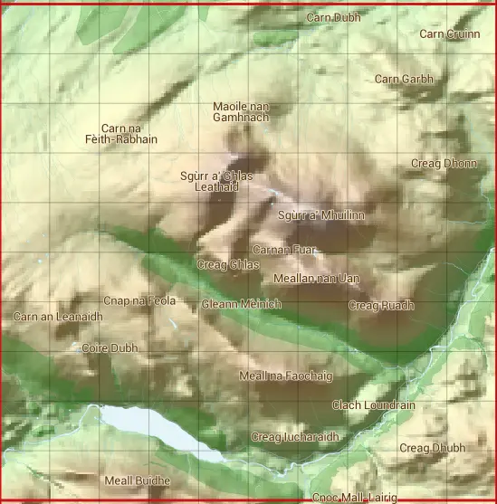
The NH25 national grid square measures 10 km by 10 km and has an area of 1,000 kilometres squared.
The technical term for a 10 km map square is a Hectad.
When this 10 km square is divided into a grid 10 by 10 it gives the next size of grid square. This unit is called a Monad and measures 1km square. 100 monads fit in a 10km square.
Out of the monads generated from square NH25, 509 are land and -409 are sea. Sea squares are disregarded on this site as they contain no land features.
|
|
|
|
|
|
 |
|
|
|
|
|
 |  |  |  |  |  |  |  |  |  |
 |  |  |  |  |  |  |  |  |  |
 |  |  |  |  |  |  |  |  |  |
 |  |  |  |  |  |  |  |  |  |
 |  |  |  |  |  |  |  |  |  |
 |  |  |  |  |  |  |  |  |  |
 |  |  |  |  |  |  |  |  |  |
 |  |  |  |  |  |  |  |  |  |
 |  |  |  |  |  |  |  |  |  |
 |  |  |  |  |  |  |  |  |  |
| Corner | Latitude | Longitude | Easting | Northing |
|---|---|---|---|---|
| South West Corner | 57.504301 | -5.013363 | 220000 | 850000 |
| South East Corner | 57.504301 | -4.839294 | 230000 | 850000 |
| North West Corner | 57.597879 | -5.013363 | 220000 | 860000 |
| North East Corner | 57.597879 | -4.839294 | 230000 | 860000 |
1 KM Squares within the NH25 10 KM Square
NH2050 NH2051 NH2052 NH2053 NH2054 NH2055 NH2056 NH2057 NH2058 NH2059 NH2150 NH2151 NH2152 NH2153 NH2154 NH2155 NH2156 NH2157 NH2158 NH2159 NH2250 NH2251 NH2252 NH2253 NH2254 NH2255 NH2256 NH2257 NH2258 NH2259 NH2350 NH2351 NH2352
NH2353 NH2354 NH2355 NH2356 NH2357 NH2358 NH2359 NH2450 NH2451 NH2452 NH2453 NH2454 NH2455 NH2456 NH2457 NH2458 NH2459 NH2550 NH2551 NH2552 NH2553 NH2554 NH2555 NH2556 NH2557 NH2558 NH2559 NH2650 NH2651 NH2652 NH2653 NH2654 NH2655