Search for Grid Square by Postcode
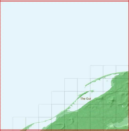
NH96
Based in the Highlands and Islands region of Scotland.
NH96
NH96 is within the post towns of Forres, Morayshire & Nairn, Nairnshire.
The square is within Highland & Moray councils.
The NH96 national grid square measures 10 km by 10 km and has an area of 1,000 kilometres squared.
The technical term for a 10 km map square is a Hectad.
When this 10 km square is divided into a grid 10 by 10 it gives the next size of grid square. This unit is called a Monad and measures 1km square. 100 monads fit in a 10km square.
Out of the monads generated from square NH96, 392 are land and -292 are sea. Sea squares are disregarded on this site as they contain no land features.
|
|
|
|
|
|
 |
|
|
|
|
|
 |  |  | |||||||
 |  |  |  |  | |||||
 |  |  |  |  |  | ||||
 |  |  |  |  |  |  | |||
 |  |  |  |  |  |  |  |  |
| Corner | Latitude | Longitude | Easting | Northing |
|---|---|---|---|---|
| South West Corner | 57.616502 | -3.847621 | 290000 | 860000 |
| South East Corner | 57.616502 | -3.675745 | 300000 | 860000 |
| North West Corner | 57.708616 | -3.847621 | 290000 | 870000 |
| North East Corner | 57.708616 | -3.675745 | 300000 | 870000 |