Search for Grid Square by Postcode
NH58
Based in the Highlands and Islands region of Scotland.
NH58
NH58 is within the post towns of Alness, Ross-shire & Ardgay, Ross-shire.
The square is within Highland council.
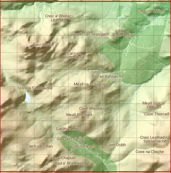
The NH58 national grid square measures 10 km by 10 km and has an area of 1,000 kilometres squared.
The technical term for a 10 km map square is a Hectad.
When this 10 km square is divided into a grid 10 by 10 it gives the next size of grid square. This unit is called a Monad and measures 1km square. 100 monads fit in a 10km square.
Out of the monads generated from square NH58, 483 are land and -383 are sea. Sea squares are disregarded on this site as they contain no land features.
|
|
|
|
|
|
 |
|
|
|
|
|
 |  |  |  |  |  |  |  |  |  |
 |  |  |  |  |  |  |  |  |  |
 |  |  |  |  |  |  |  |  |  |
 |  |  |  |  |  |  |  |  |  |
 |  |  |  |  |  |  |  |  |  |
 |  |  |  |  |  |  |  |  |  |
 |  |  |  |  |  |  |  |  |  |
 |  |  |  |  |  |  |  |  |  |
 |  |  |  |  |  |  |  |  |  |
 |  |  |  |  |  |  |  |  |  |
| Corner | Latitude | Longitude | Easting | Northing |
|---|---|---|---|---|
| South West Corner | 57.784441 | -4.530769 | 250000 | 880000 |
| South East Corner | 57.784441 | -4.356463 | 260000 | 880000 |
| North West Corner | 57.877422 | -4.530769 | 250000 | 890000 |
| North East Corner | 57.877422 | -4.356463 | 260000 | 890000 |
1 KM Squares within the NH58 10 KM Square
NH5080 NH5081 NH5082 NH5083 NH5084 NH5085 NH5086 NH5087 NH5088 NH5089 NH5180 NH5181 NH5182 NH5183 NH5184 NH5185 NH5186 NH5187 NH5188 NH5189 NH5280 NH5281 NH5282 NH5283 NH5284 NH5285 NH5286 NH5287 NH5288 NH5289 NH5380 NH5381 NH5382
NH5383 NH5384 NH5385 NH5386 NH5387 NH5388 NH5389 NH5480 NH5481 NH5482 NH5483 NH5484 NH5485 NH5486 NH5487 NH5488 NH5489 NH5580 NH5581 NH5582 NH5583 NH5584 NH5585 NH5586 NH5587 NH5588 NH5589 NH5680 NH5681 NH5682 NH5683 NH5684 NH5685